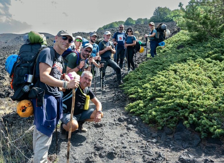
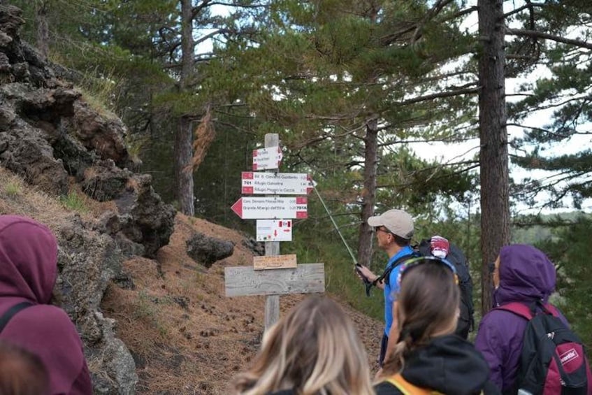
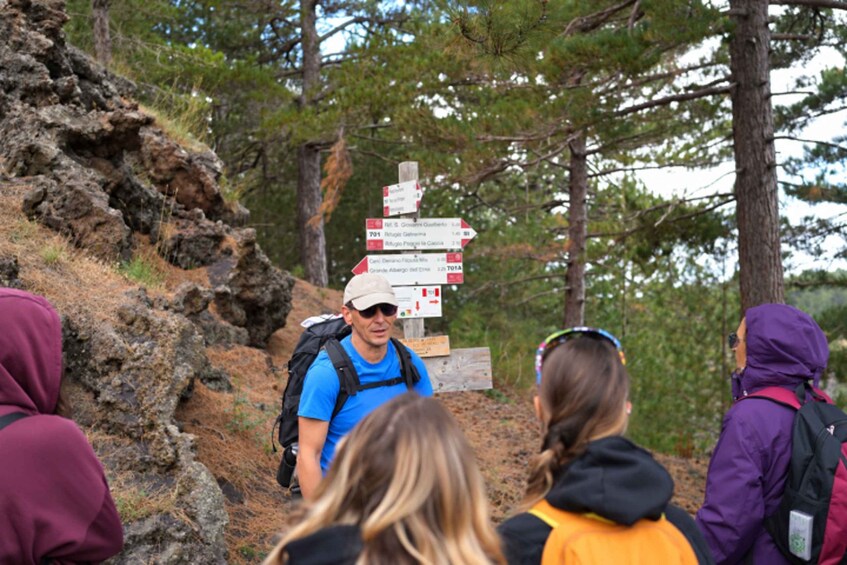
Step onto the southern slopes of Mount Etna for an educational hike designed for curious walkers who want to understand the volcano’s landscape up close. Starting from the Etna Sud area, you’ll follow a gently ascending trail through woodland of poplars and black pines while your Environmental Hiking Guide explains how Etna has shaped this terrain over time.Along the route you’ll see clear evidence of eruptions from the second half of the 19th century: ancient lava flows, lava channels, and pyroclastic cones that still mark the ground today. One of the key stories is the 1886 eruption—your guide will show where it advanced and recount how it stopped only a few hundred meters from Nicolosi, helping you connect the scenery to real events.The walk includes several panoramic stops with views of Mount Etna and, on clear days, the Ionian‑Etnean coast. You’ll also reach an intriguing hornito (a small volcanic vent formation) before continuing toward the Monte Gemmellaro Refuge, then return along the same route.This medium‑easy trek covers about 5 km round trip, with an altitude gain from roughly 1,250 m to 1,450 m over about 6 hours. Weather and volcanic terrain can affect pacing and the expected return time, and the guide may adjust the itinerary for safety.