

expedia
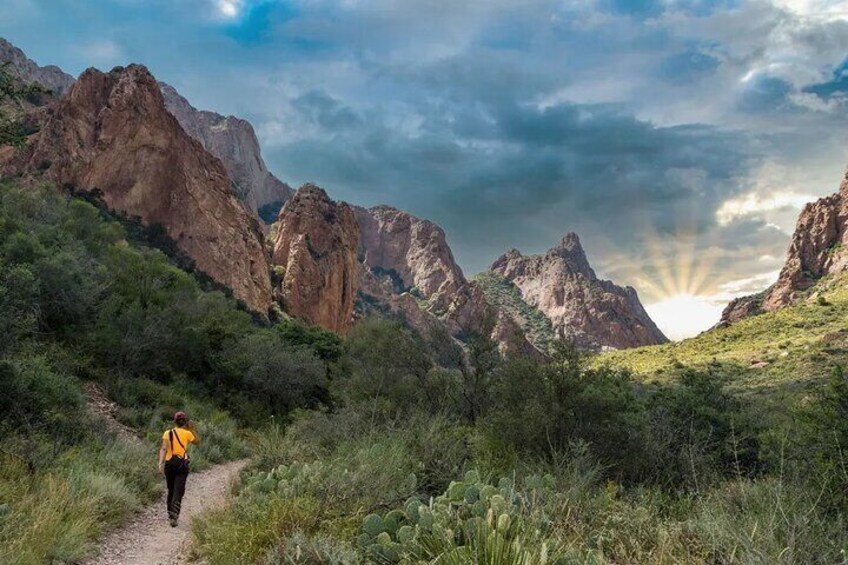
A hiker on a trail surrounded by rugged mountains and greenery. 1
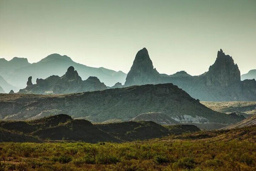
A rugged mountainous landscape with prominent peaks and sparse vegetation. 2
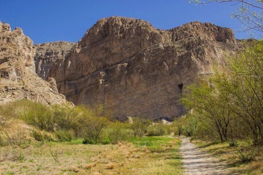
A rocky canyon with a narrow path leading through it. 3
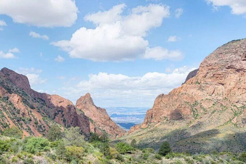
A canyon landscape with rocky cliffs and sparse vegetation. 4
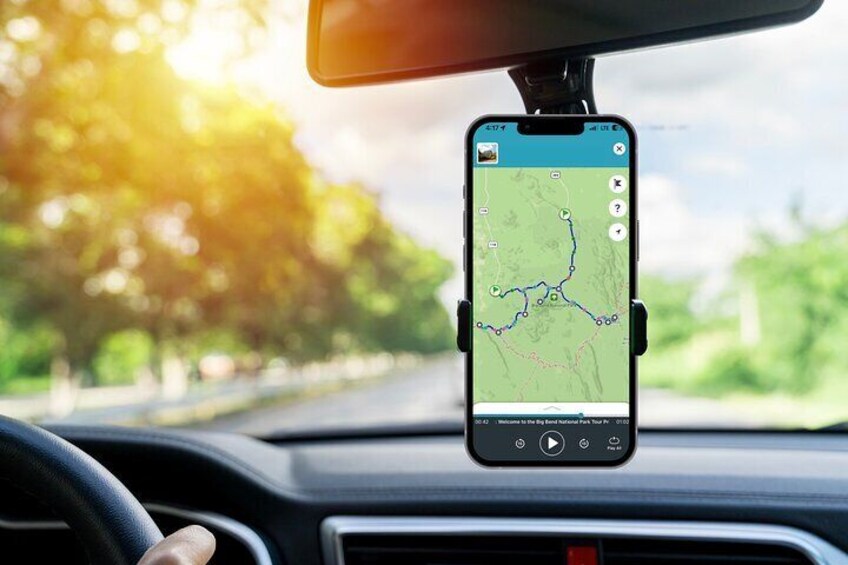
A smartphone mounted on a dashboard displaying a map. 5
By Shaka Guide Apps

Reviews

9.8 out of 10
Exceptional
Free cancellation available
Price is RM 64 per traveller* *Get a lower price by selecting multiple travellers

Features

  • Free cancellation available
  • 9h
  • Mobile voucher
  • Instant confirmation

Overview

  • “Explore Big Bend National Park at your own pace on a self-guided GPS audio driving tour through the Chihuahuan Desert, Chisos Mountains, and Rio Grande. Follow turn-by-turn directions to dramatic viewpoints, scenic drives, historic sites, canyon trails, and iconic stops including Ross Maxwell Scenic Drive, Santa Elena Canyon, Chisos Basin, and the Rio Grande.

    Shaka Guide tours are created by real people who know and experience the destinations they guide, bringing Big Bend to life through engaging stories, history, and local insight. Choose the stops and hikes that interest you, skip others, and spend as much time as you like exploring.

    One purchase covers everyone in your vehicle. Download the Shaka Guide app and tour before you go; once downloaded, the audio and map work offline, and GPS-triggered narration plays automatically as you drive.”

Activity location

  • Mule Ears Viewpoint
    • 79834, Big Bend National Park, Texas, United States

Meeting/Redemption Point

  • 53629 A
    • 53629 A
    • 79852, Terlingua, Texas, United States

Multiple meeting/redemption points available, see location information for full list

Check availability

Big Bend National Park Self Guided Audio Tour Guide in English

  • Activity duration is 9 hours9h
    9h
  • Opening hours: Sat 0:00-23:30
  • English
Language options: English
Price details
RM 64.36 x 1 TravellerRM 64.36
Total
Price is RM 64.36

What's included, what's not

  • Inclusions
    Offline map and audio after download
  • Inclusions
    Flexible itinerary with optional stops, viewpoints, and hikes
  • Inclusions
    Stories, history, geology, wildlife, and local recommendations
  • Inclusions
    Turn-by-turn audio navigation that plays automatically as you drive
  • Inclusions
    Tour access does not expire
  • Inclusions
    One purchase covers everyone in your vehicle
  • Inclusions
    Self-guided GPS audio driving tour of Big Bend National Park
  • Exclusions
    Meals and Refreshments
  • Exclusions
    Transportation or rental vehicle
  • Exclusions
    Personal Expenses

Know before you book

    • Service animals allowed
    • Suitable for all physical fitness levels
    • This is a self-guided driving tour. Transportation and a driver are not included, so you’ll need your own vehicle or rental car.
    • Begin the tour from one of the designated starting points shown in the Shaka Guide app. GPS-guided directions will take over once you reach the tour route.
    • Download the Shaka Guide app after booking and use the redemption code provided in your confirmation to access your tour.
    • Download the tour over strong Wi-Fi before entering the park. Cell service is very limited throughout Big Bend; once the tour is downloaded, the audio and map work offline.
    • The itinerary is flexible. Stops and hikes are recommendations, not requirements. Skip stops, spend longer at places that interest you, or split the tour across multiple days. Shaka’s internal tour design specifically supports a highly customizable route through the park.
    • Big Bend National Park charges a separate entrance fee. Park admission is paid directly to the National Park Service and is not included with the Shaka Guide tour.
    • Visiting Boquillas del Carmen, Mexico, is optional. Travelers who choose to cross must bring the required valid travel documentation and pay any applicable crossing, transportation, or protected-area fees separately. Port operating days and hours can change, so check current conditions before visiting.
    • Hiking is optional, and trail conditions can change. At Santa Elena Canyon Trail, access requires crossing Terlingua Creek, which may be dry, muddy, or flowing depending on recent conditions. Follow posted NPS guidance and do not cross when conditions are unsafe.
    • Accessibility varies by stop. Because this is a self-guided tour using your own vehicle, accessibility depends on your vehicle and the locations you choose to visit. Some trails and outdoor stops may not be wheelchair or stroller accessible.
    • Bring a fully charged phone. A car charger is recommended for a full day of exploring.

Activity itinerary

Sam Nail Ranch

  • 15m
In 1916, Sam Nail built a two-room house here, and together with his wife Nena, raised livestock, planted pecan, walnut, and fig trees, and raised a family. The trail from the road is really easy, about a half-mile round trip, and it takes you to what’s left of these orchards, and of the house.

Sotol Vista

  • 10m
This incredible view just off the Ross Maxwell Scenic Drive takes in a 360-degree view of much of the western half of the park, including Santa Elena Canyon out in the distance.

Mule Ears Viewpoint

  • 5m
A parking lot provides an easy view of the unusual Mul Ears mountain, a volanic rock formation that looks like a pair of mule ears.

Tuff Canyon Overlook

  • 10m
Three overlooks offer a glimpse into this small canyon. A trail from the southern parking lot descends into the canyon. The hike is less than a mile round trip and takes about an hour. At the time of writing, this stop was temporarily indefinitely after some rock slides.

Castolon

  • 30m
Explore the remnants of this early 20th-century community near the U.S./Mexico border. Buildings like the Alvino House and La Harmonia store interpret what life was like for the multicultural community that lived here 100 years ago. While you're here, check out the visitor center to learn more about the area, and stock up on snacks and supplies at the store. The visitor center has seasonal operations.

Santa Elena Canyon Overlook

  • 5m
This easily accessible viewpoint offers a stunning view of Santa Elena Canyon's mouth.

Santa Elena Canyon Trail

  • 30m
Enjoy the mouth of the imposing Santa Elena Canyon, with walls 1500 feet high, just a few dozen steps away from the parking lot. There is a trail into the canyon, but reaching the trailhead requires a water crossing that may not be advisable in high water or heavy mud. If you do reach the trail on the other side, it's a 1.6-mile round trip and considered easy, aside from a couple of places with steps. Reaching the trail may require crossing Terlingua Creek, and conditions can vary with water/mud.

Dorgan Sublett Trail

  • 30m
This easy, 1-mile round trip hike takes you to the remnants of two pioneer homes belonging to the Dorgan and Sublett families. The Dorgan family's adobe house provides an interesting playground for photographers, with a stunning background vista of rock formations and the Chisos Mountains.

Homer Wilson Ranch

  • 5m
A pulloff along the scenic drive provides access to a small observation deck to see the old Homer Wilson Ranch, what's left of a rancher's home from the early to mid-20th century. You can see the house from the observation deck, or take a 1-mile round trip hike to the house. The trail takes about 30 minutes and is considered easy, though it crosses two drainages that may flood.

Chisos Basin

  • 1h
You could easily spend the day up in Chisos Basin, where the higher altitude means consistently cooler temperatures than the rest of the park. Start at the visitor center for a trail map, or the store to gear up on snacks and supplies. Grab a meal at the Chisos Mountains Lodge. Or take any of the several hiking trails. Everyone ought to take the 0.3-mile Window View Trail, a paved walkway that leads to a view of "The Window" in the Chisos Mountains. The 5-mile round trip, moderately difficult Lost Mine Trail is also popular.

Panther Junction Visitor Center

  • 20m
This is the primary visitor center in the park. Watch the park video, browse the gift shop, or check out the displays on the area's geography and ecosystems. You can also stroll through a garden of local plant life outside near the parking lot.

Fossil Discovery Exhibit

  • 20m
This unique outdoor museum showcases the diverse fossil collection that has been discovered in Big Bend. Browse the real and replicated fossils that span over 65 million years of history.

Dugout Wells

  • 30m
This oasis was once home to a school for the area's children. Today, you can take the half-mile Chihuahuan Desert Nature Trail loop that explores the oasis as well as the surrounding desert plant life. It's a bumpy dirt road off the park road to reach Dugout Wells.

Hot Springs Trailhead

  • 45m
Along the Rio Grande is what remains of a hot springs resort from the early 20th century. The hot springs are still there, along with the foundations of the bathhouse, accessible about a half mile down the trail. There are also some buildings left from the community, creating a small historic district. Additionally, along the trail is a spot with some old pictographs. The historic district, and trailhead, are accessible down a two-mile gravel road.

Rio Grande Overlook

  • 5m
This overlook stands above the Rio Grande Village area, with the greenery surrounding the river in plain sight.

Rio Grande Village Visitor Center

  • 10m
Learn about the Rio Grande at this visitor center just a quarter mile from the campground. You can also get information about the Boquillas Crossing and the area's trails from a park ranger. Visitor Center has seasonal operations.

Rio Grande Village Nature Trail

  • 30m
Located in the back of the Rio Grande Village campground, this 0.75-mile nature trail starts with a series of boardwalks through wetlands and then leads to the Rio Grande itself. This is an easy trail and a good one for wildlife viewing and birdwatching.

Boquillas Crossing

  • 2h
Optional Stop: This official port of entry allows you to legally cross the Rio Grande and enter Mexico to visit the remote town of Boquillas del Carmen. There, you can experience a small sample of Mexican culture, eat a meal, and do a little souvenir shopping. Bring your passport! Travelers need valid travel documentation and pay any crossing/transportation fees independently.

Boquillas Canyon Overlook

  • 5m
Get a sneak preview of the Boquillas Canyon from this overlook that stands right over the Rio Grande. You can also look into Mexico and catch a glimpse of the town of Boquillas del Carmen.

Boquillas Canyon Trail

  • 45m
Hike into Boquillas Canyon, with walls over 1300 feet tall, and stand on the border between the United States and Mexico. The 1.5-mile round-trip trail is easy, save for the small hill at the very beginning. The trail leads into the canyon, with the Rio Grande in the middle, the United States on one side, and Mexico on the other.

Location

Activity location

  • LOB_ACTIVITIESLOB_ACTIVITIES
    Mule Ears Viewpoint
    • 79834, Big Bend National Park, Texas, United States

Meeting/Redemption Point

  • PEOPLEPEOPLE
    53629 A
    • 53629 A
    • 79852, Terlingua, Texas, United States
  • PEOPLEPEOPLE
    Persimmon Gap
    • 79830, Brewster County, Texas, United States

Best Deals on Things to Do

Experience the wonders of the world up close with great deals on things to do near and far. Expedia offers one-of-a-kind activities that allow you to explore Big Bend National Park your way. Whether you love nature, culture, food or a bit of adventure, we have the perfect activity for you.

Top experiences in Big Bend National Park

With so many things to do in Big Bend National Park, planning the perfect day out may seem like a daunting task. Expedia is here to take the hassle out of finding the best attractions, tours and activities in Big Bend National Park. Families, couples and business travellers can all find the perfect activity in Big Bend National Park to create life-long memories with the help of Expedia.